
The
VIEW OUR TRAVEL PHOTO ALBUM >
February 22, 2015
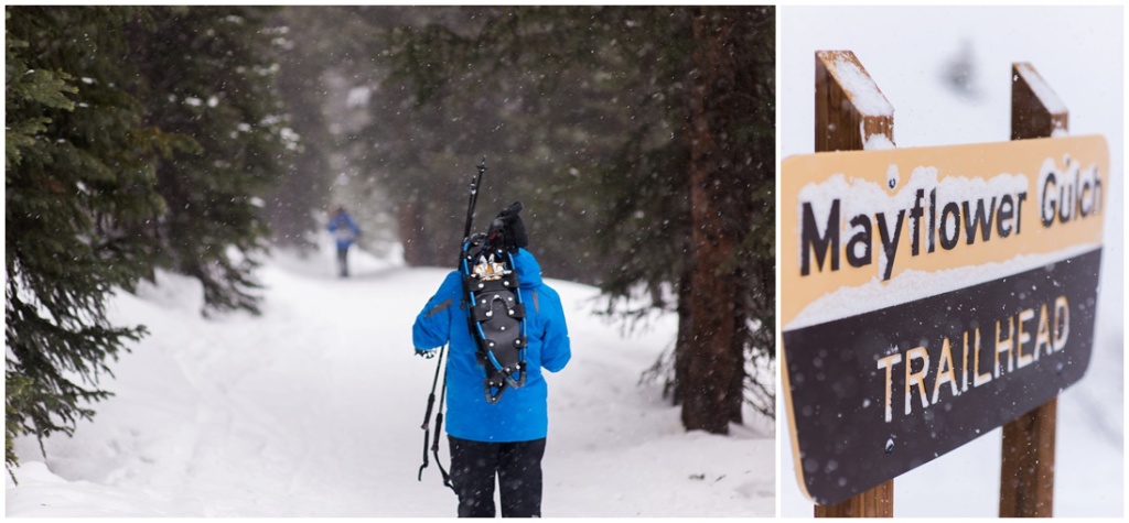
Mayflower Gulch & Historic Boston Mine – Snowshoe Summit County
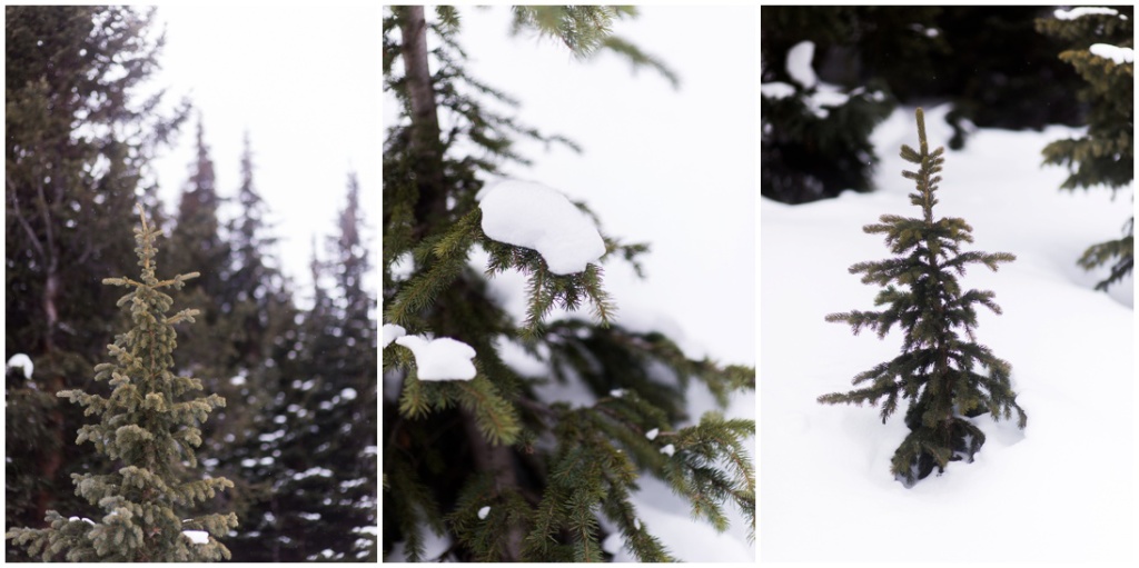
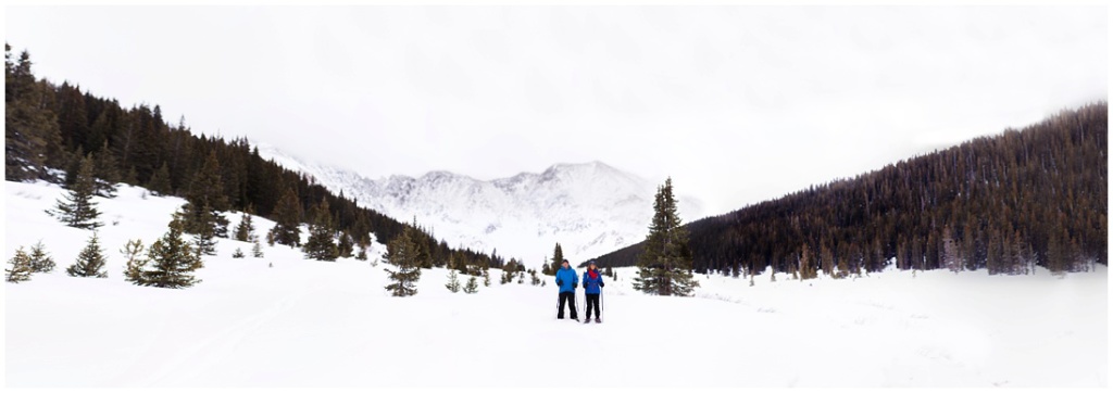 Since my dear husband doesn’t ski, snowboard, or like cold weather in general, I took a short vacation with my parents out to my favorite resort in Colorado, Copper Mountain. Copper has been in my heart for several years, as I used to work there years ago. (a story for another day!) On our third day out, we took a break from the slopes and traveled up Highway 91 to Leadville, stopping at Mayflower Gulch to snowshoe. Last year when I was up in Leadville visiting a friend, I noticed the somewhat hidden parking lot in front of the trailhead and gorgeous view of Fletcher Mountain, and have been so intrigued ever since. Little did I know at the time, the trail points to an old mining ghost town; RIGHT up my alley! I absolutely love exploring mysterious historical locations, ghost towns, and forbidden places, so once I found out about the old mine, it was a must-see. I took one of my cameras with me, of course, there was NO way I was getting out of there without photographic evidence.
A bit of information about the hike:
~approximately 2 miles one way to the Boston Mine (apparently you can go further to see more of the mine, however another traveler that day mentioned it’s difficult or impossible to get there in the winter…enough motivation for me to go back in the summer)
~Elevation at trailhead 10,994 ft above mean sea level
~Elevation gain approximately 780-1,428 ft depending on how far you go
~There is a jeep road that is a fairly easy trek, although we unknowingly took the hard route (more about that, below)
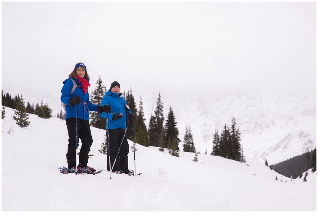
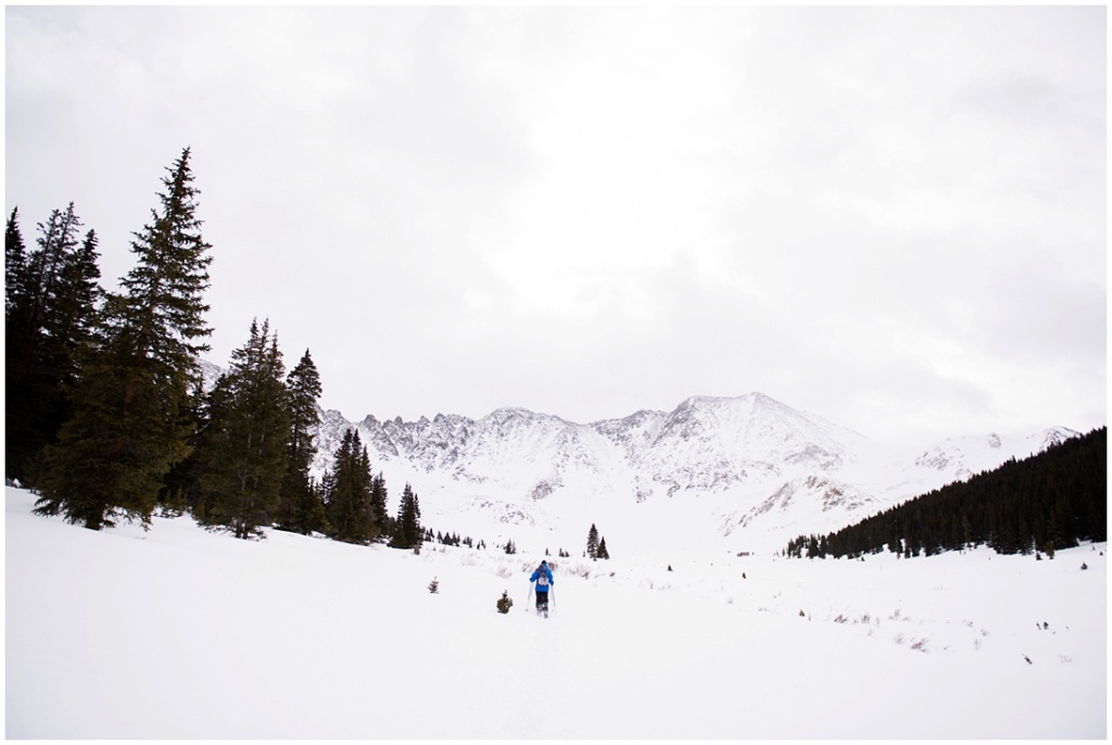
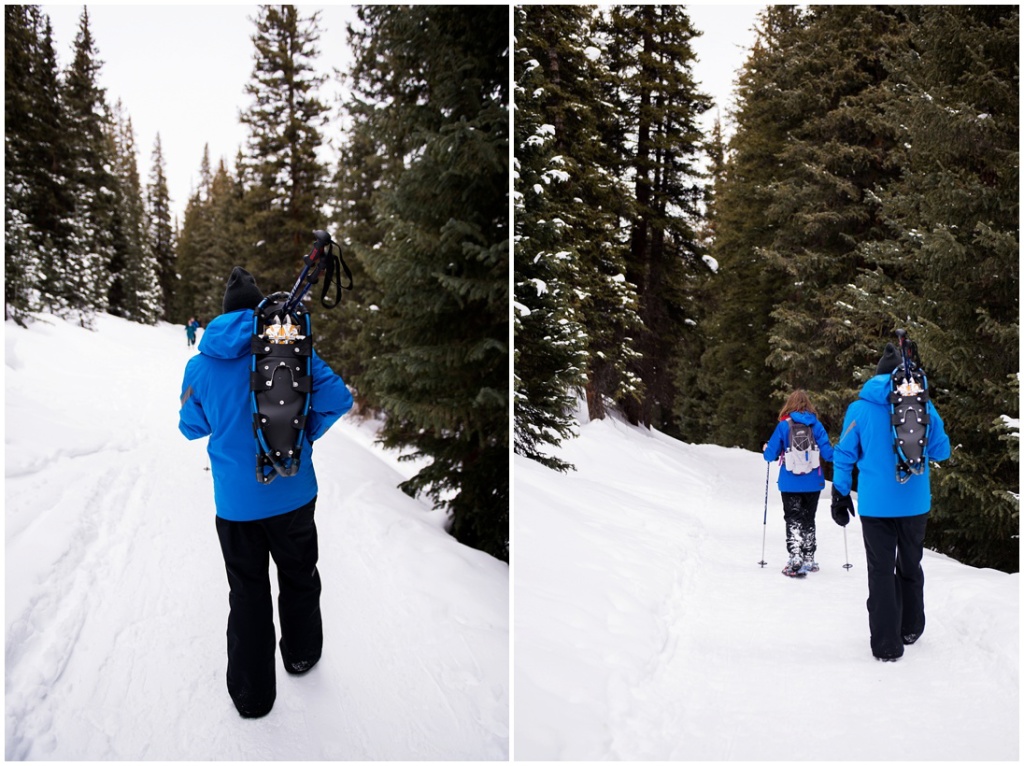
Near the beginning of our adventure. The weather was fairly nice, although we had snow flurries. This is about at the point where we ventured off the wrong way. Another website mentioned we should take a left at the “Y” in the road, although we didn’t see the correct “Y”, which veered us left of Mayflower Creek and away from the well traveled road.
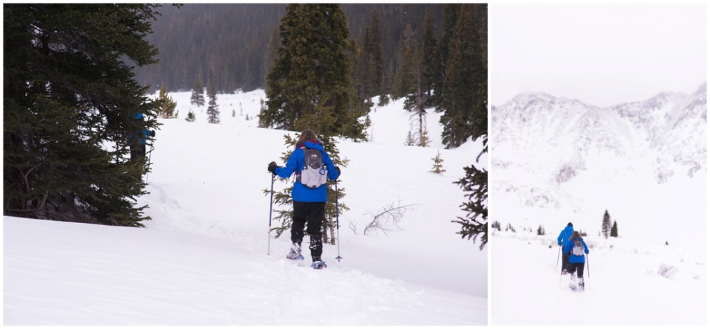
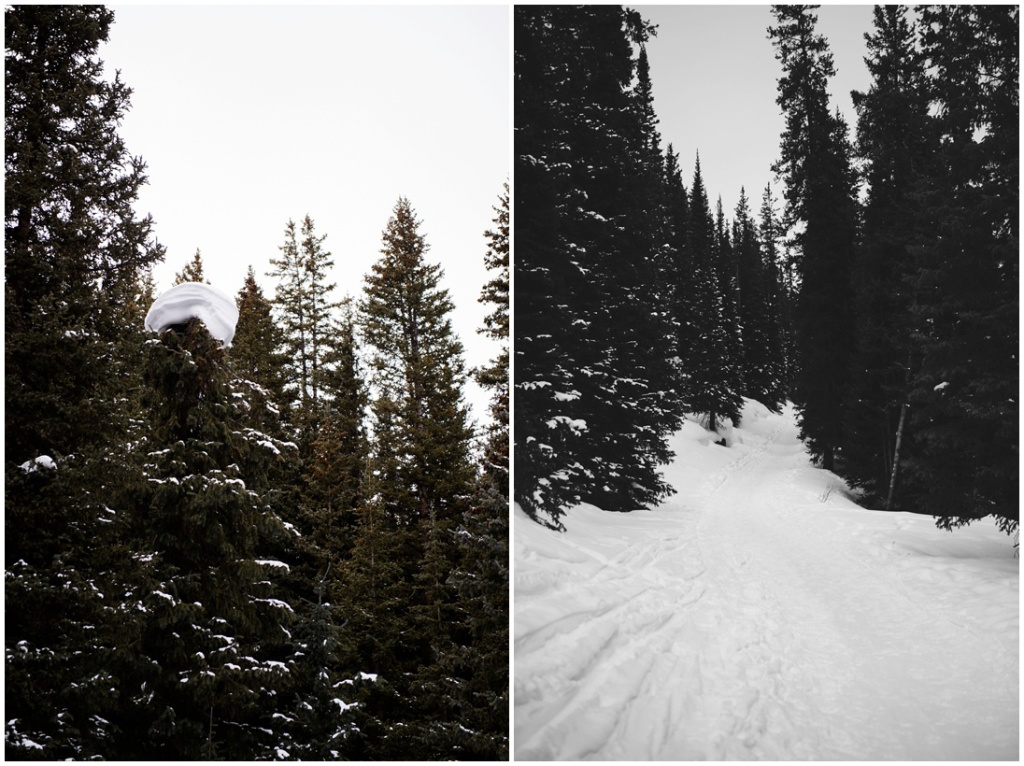
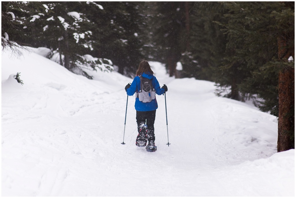
It was a bit difficult at times as we tried to follow some of the previous Cross Country Ski routes we saw in the snow. At some point we all sunk pretty far down in the powder even though we were wearing snowshoes. I’m glad we took this route though. The view was spectacular and it was a fantastic workout!
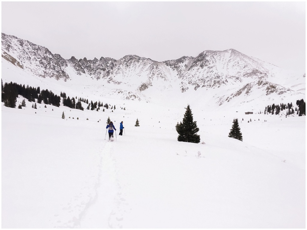
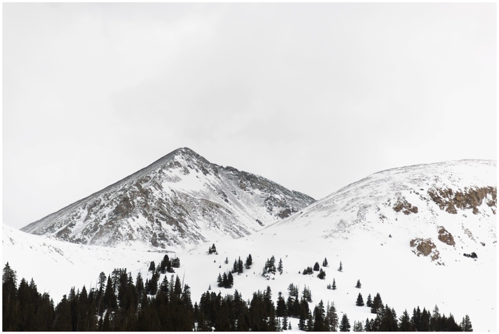
That view! Unfortunately much of the morning was cloud cover, so we didn’t get to see the blue sky that really makes this view extra amazing, but I’ll still take this.
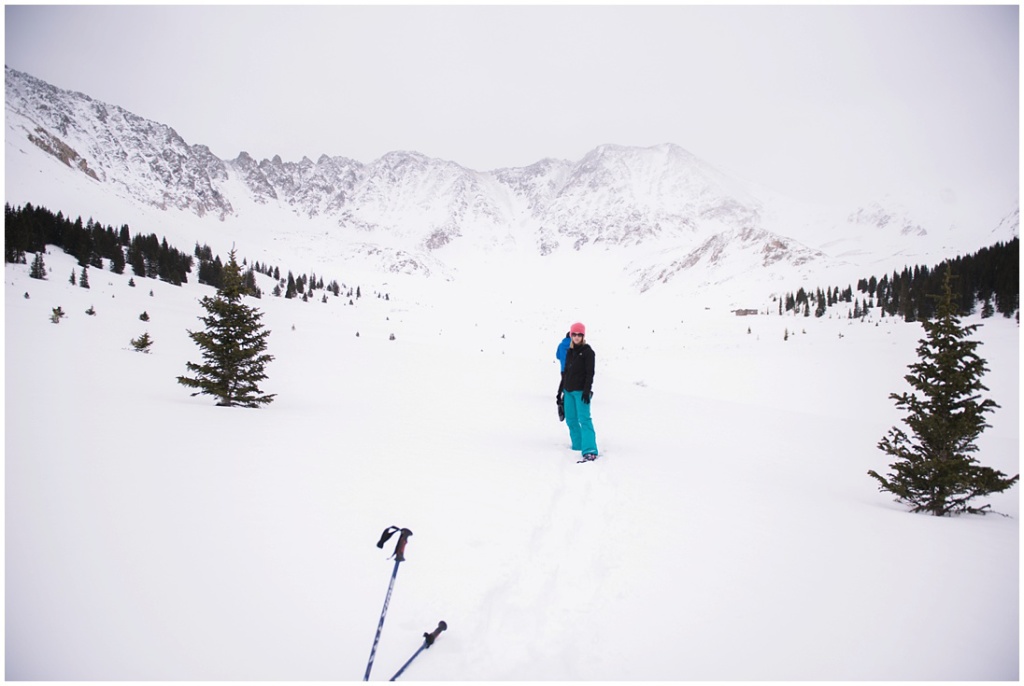
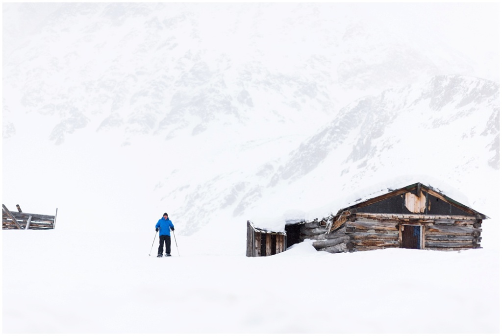
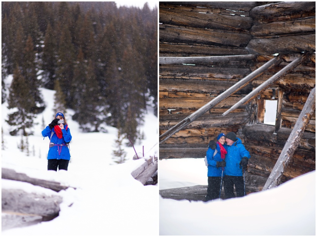
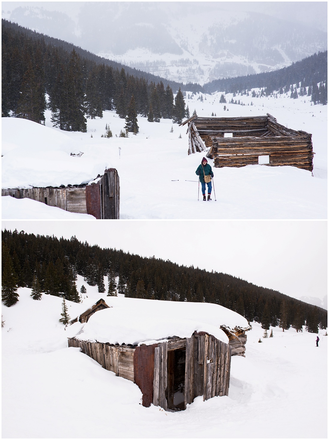
I tried to teach mom how to use my camera. I don’t think she got this quite in focus, but thats okay. ;-) You can now start to see the largest standing building at the Boston Mine on the right!
Looking left to us at Atlantic and Pacific Peaks
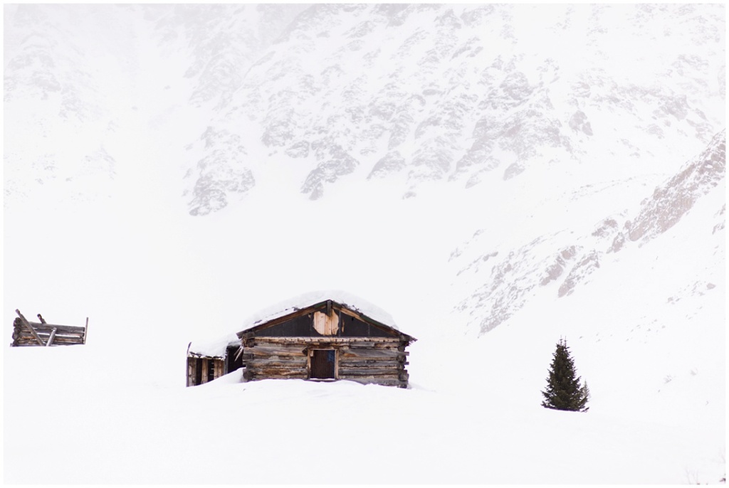
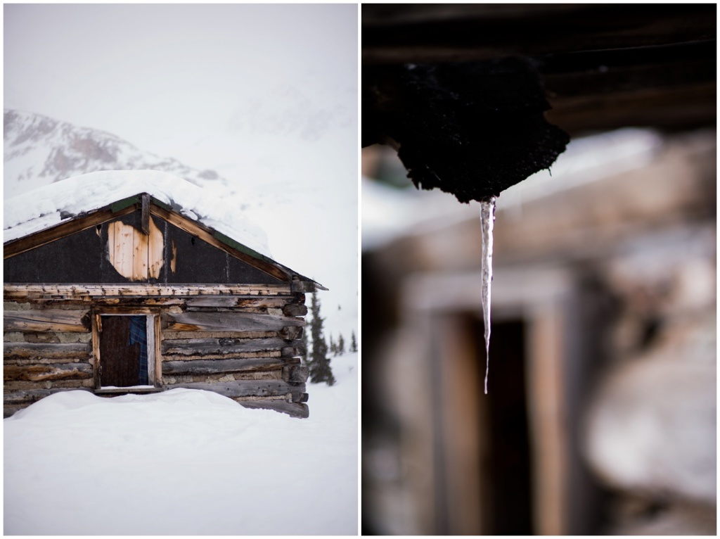
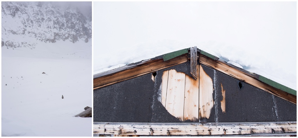
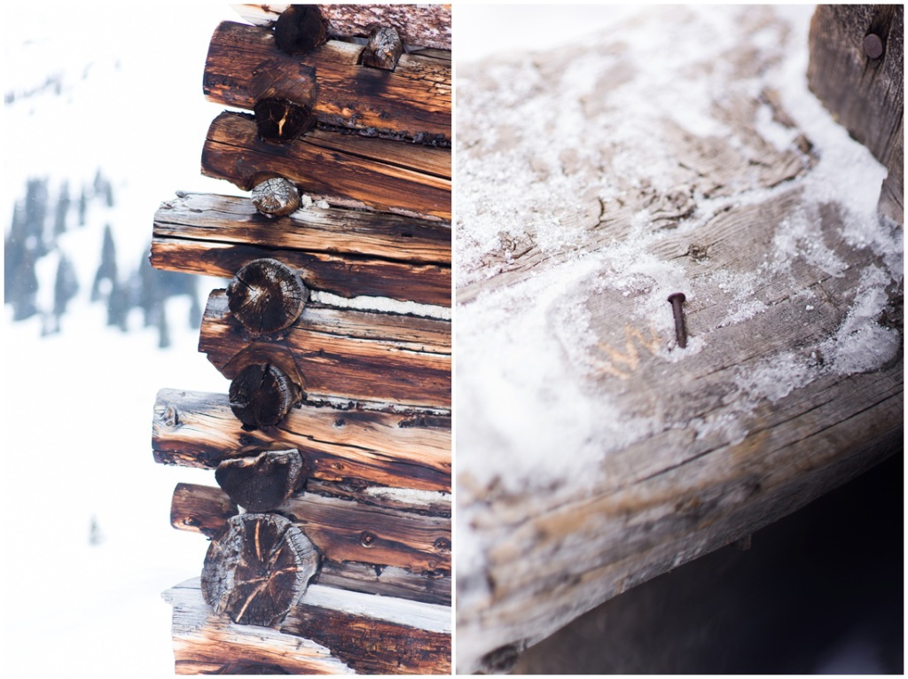
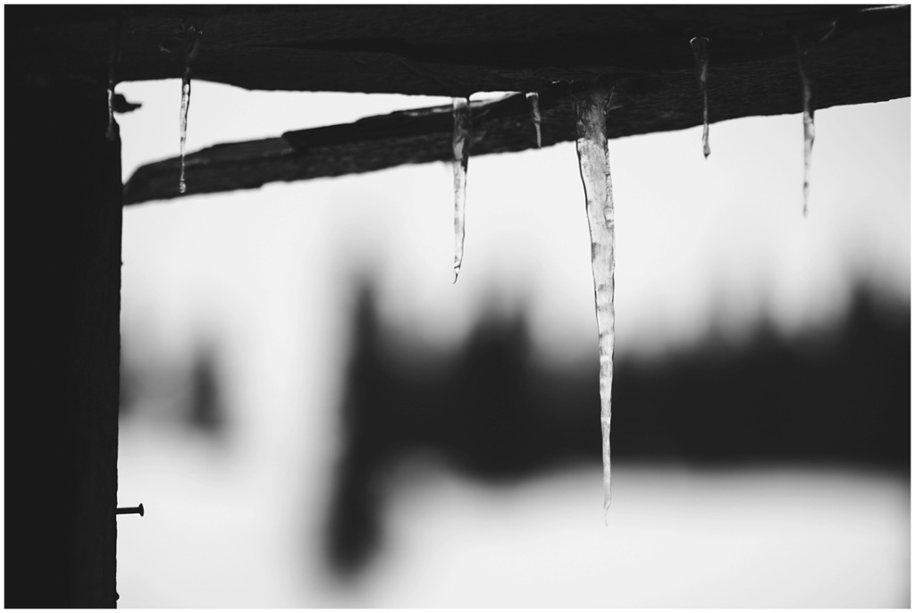
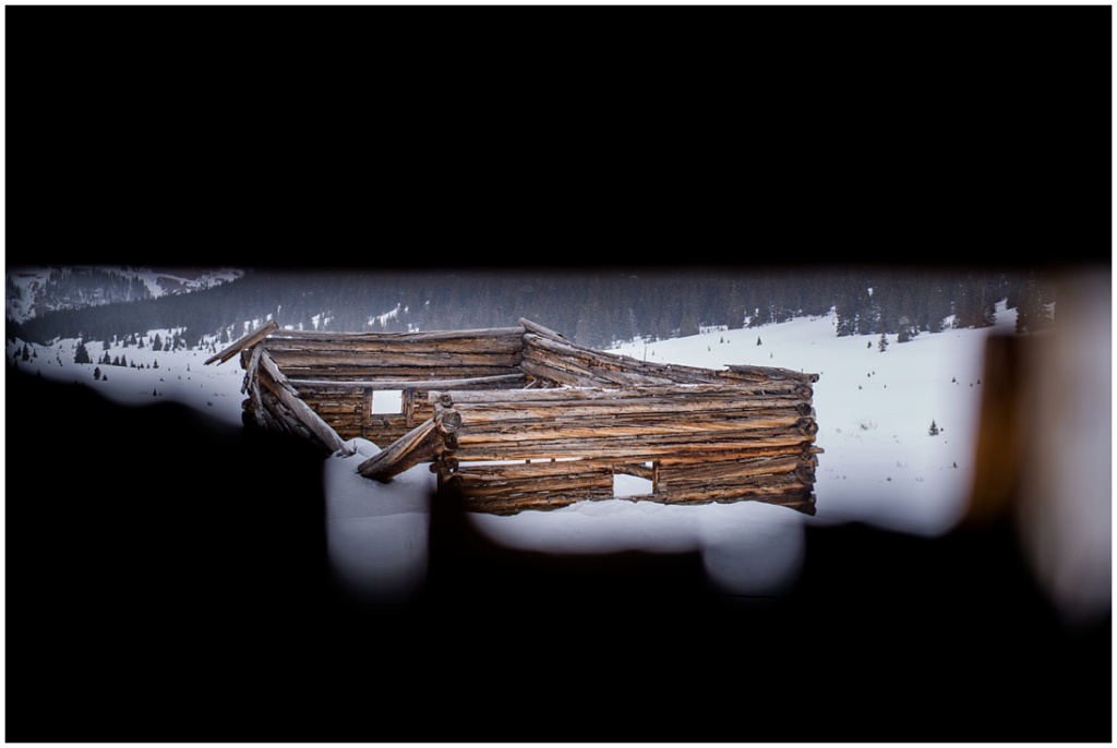
We finally arrived at the old Ghost Town! It was so amazing; I love this stuff! This building still has a roof and has been used in the past as a hiker camp, although it didn’t appear that anyone had camped there for quite some time.
Dad next to the cabin/boardinghouse
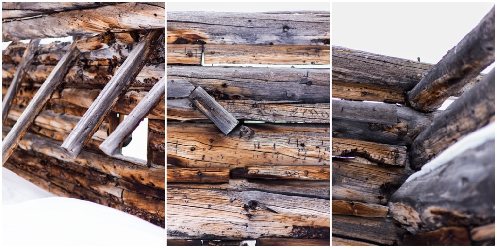
Real life Lincoln Logs (am I aging myself?)
Another cabin lies at the base of Fletcher. Above this cabin, there is apparently a cable and mining structure built into the hillside.
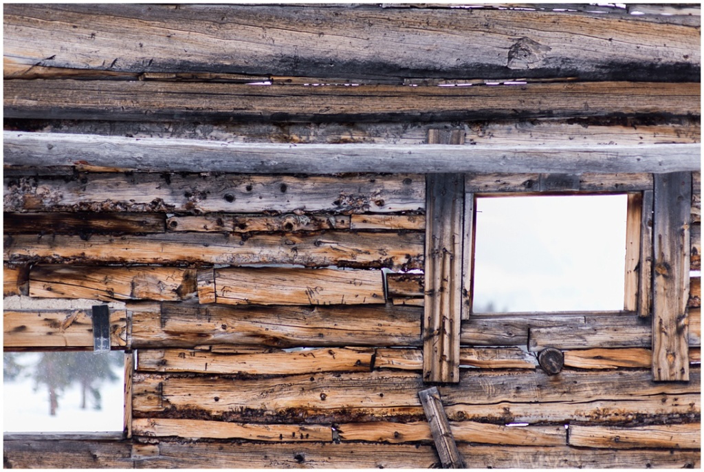
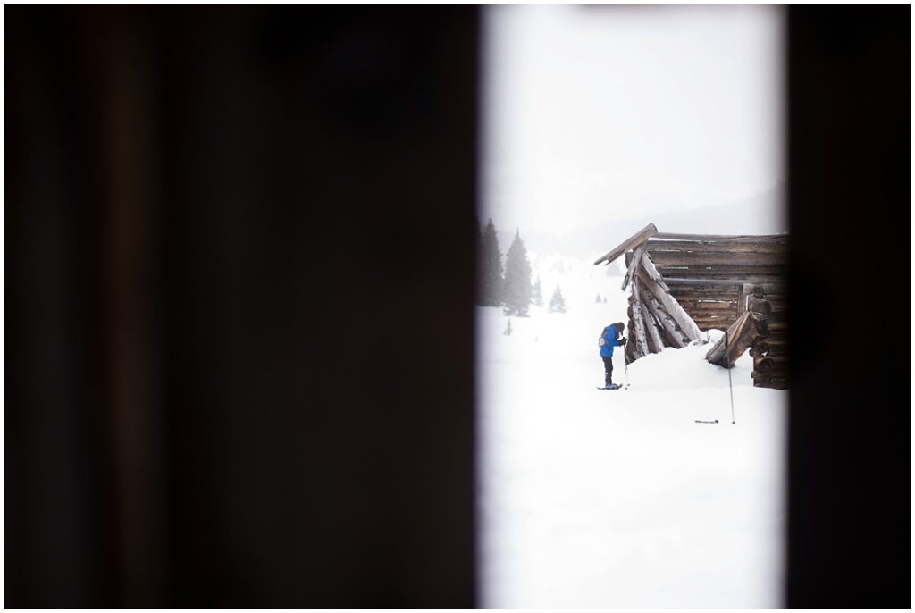
At this point looking back at Jacque Peak was nearly impossible because of the impending snowstorm. If you could see it, thats what we’d be looking at through this cabin window.
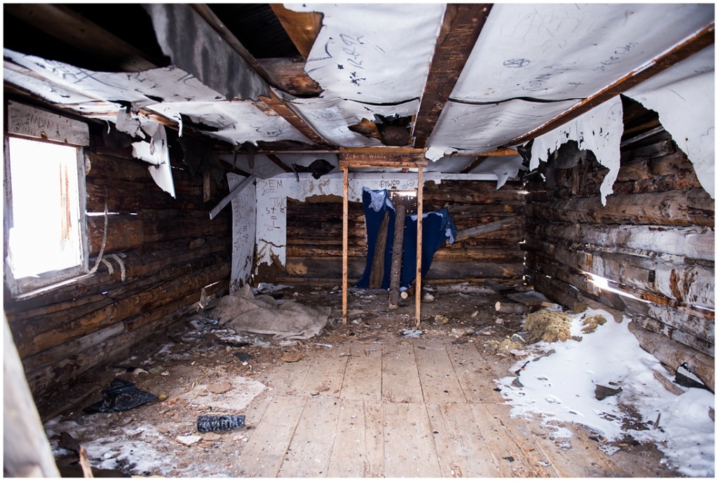
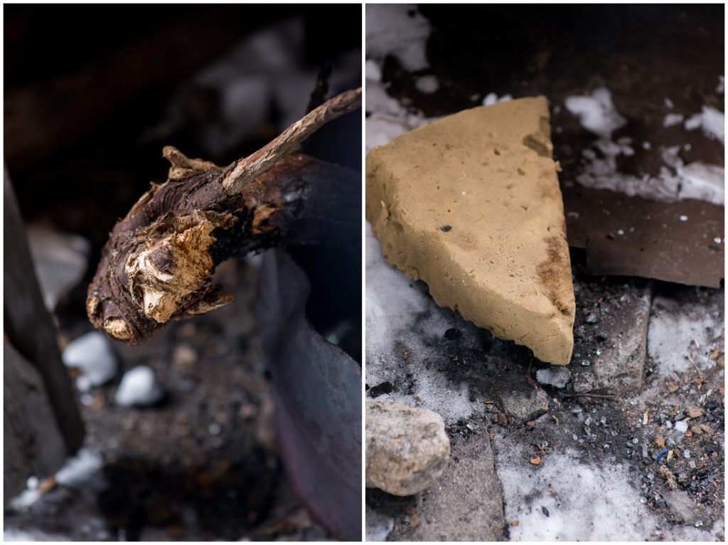
Remnants of a homemade stove and bedding inside the cabin
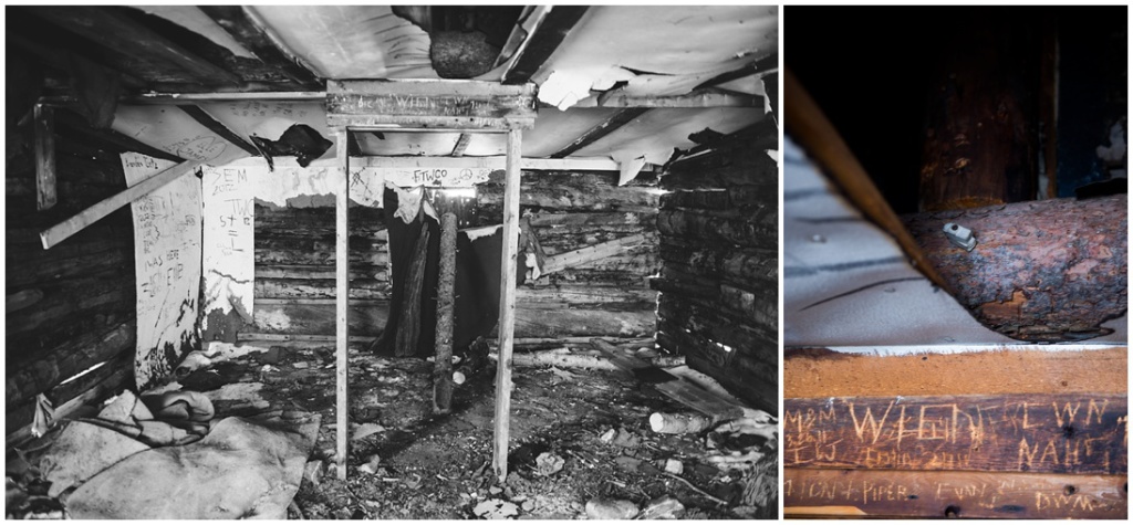
A lot of travelers have left their mark on this piece of history. I’d love to hike and camp here some day.
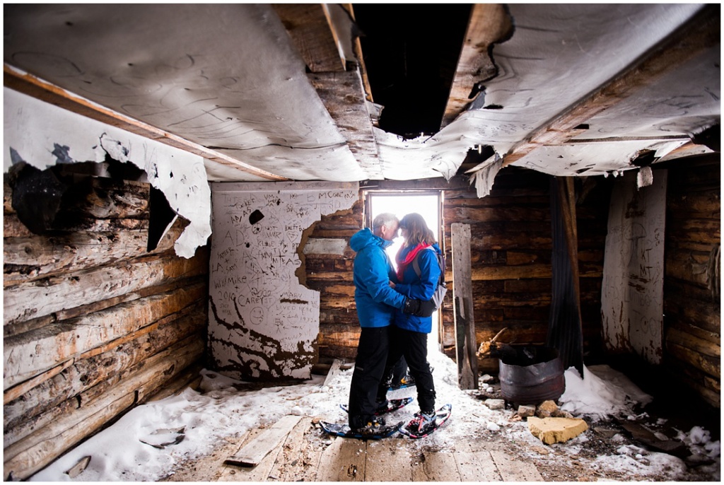
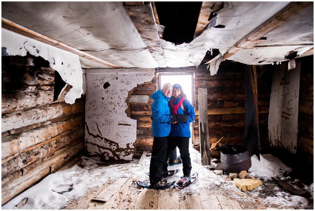
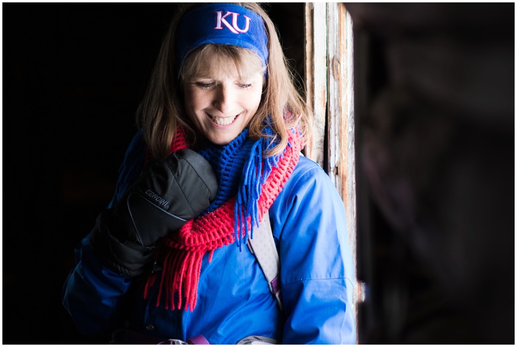
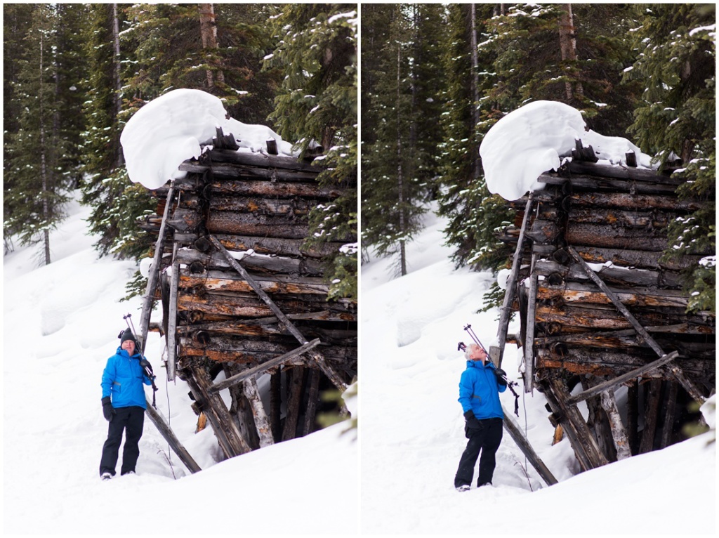
What kind of photographer would I be if I didn’t stage some beautiful portraits while I was there? ;-)
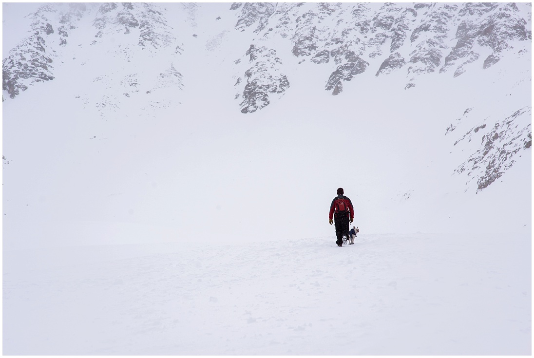
This nice traveler told us a bit about the buildings and then went on his way with his adorable, socked pup
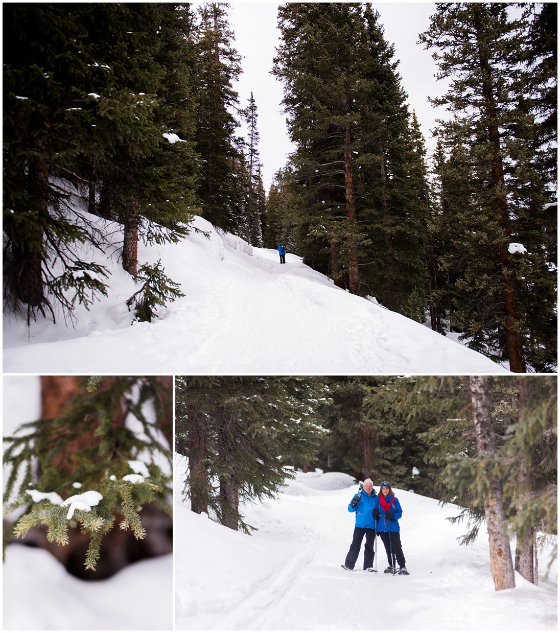
We opted to take the easy route back (the road we were originally supposed to take. :) It was completely tree covered and gorgeous!
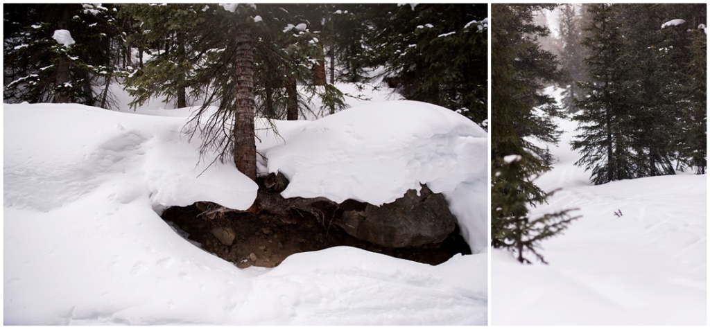
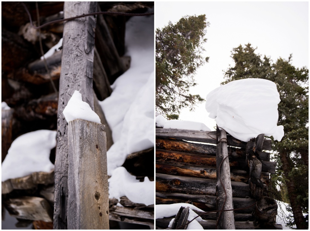
On the trail back, we came across a mine chute structure
The storm caught up to us on the way back to the trailhead. It was pretty nasty for awhile!
I’m excited to return in the summer so I can fully explore this awesome trail and Ghost Town!
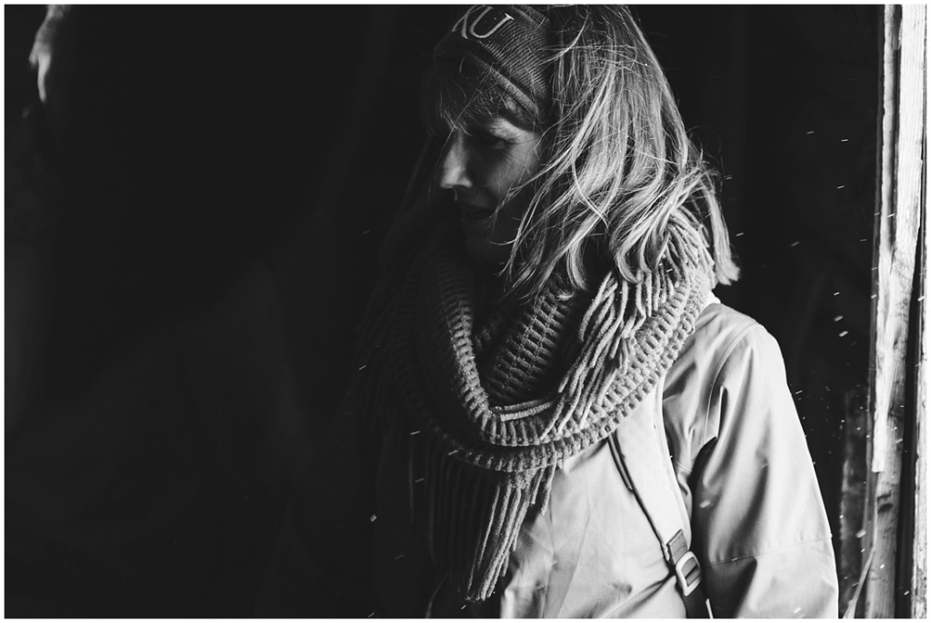
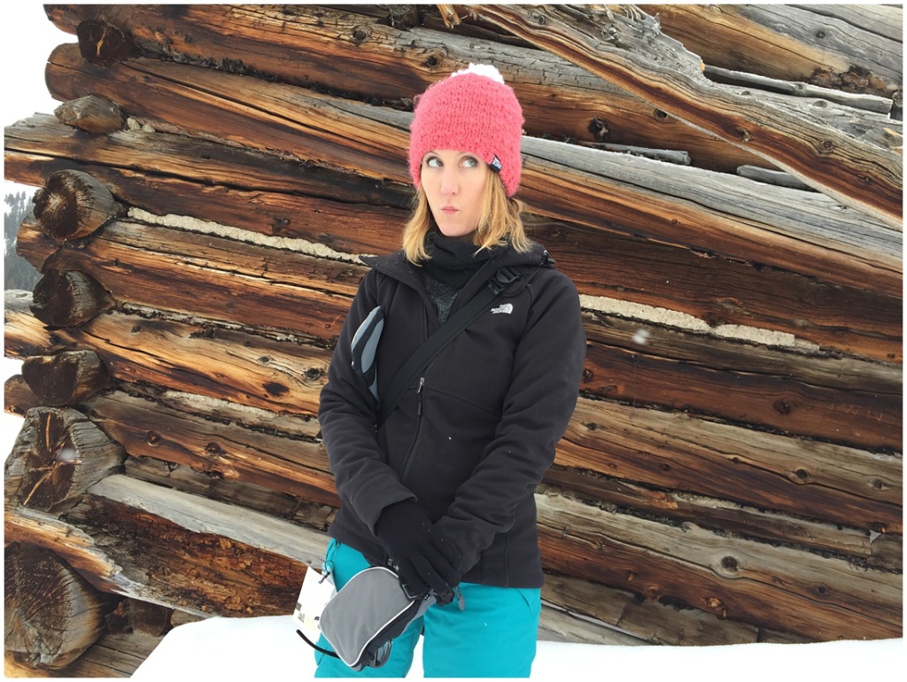
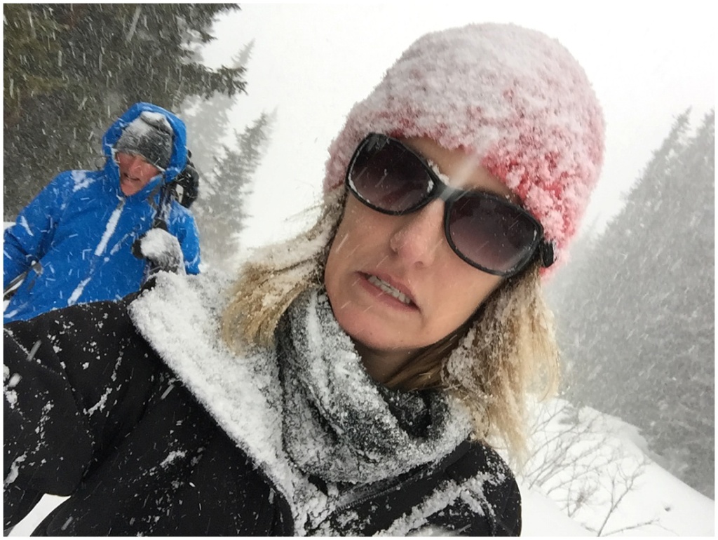
And below, a couple of cell phone pictures of yours truly. :)

0
comments